Mapping the UK's oldest trademarks, part 2.
The second of two parts, this video covers the front-end steps in creating a map of the UK’s oldest trademarks.
Here we visualise the trademarks data we gathered in part 1 using D3js by rendering a map of the UK with postal area boundaries, labelling and then filling with the oldest trademark for the area.
We begin with a starter template, and work towards a full visualisation. The map we create in the screencast represents about 70% of the work that went into the final visualistion.
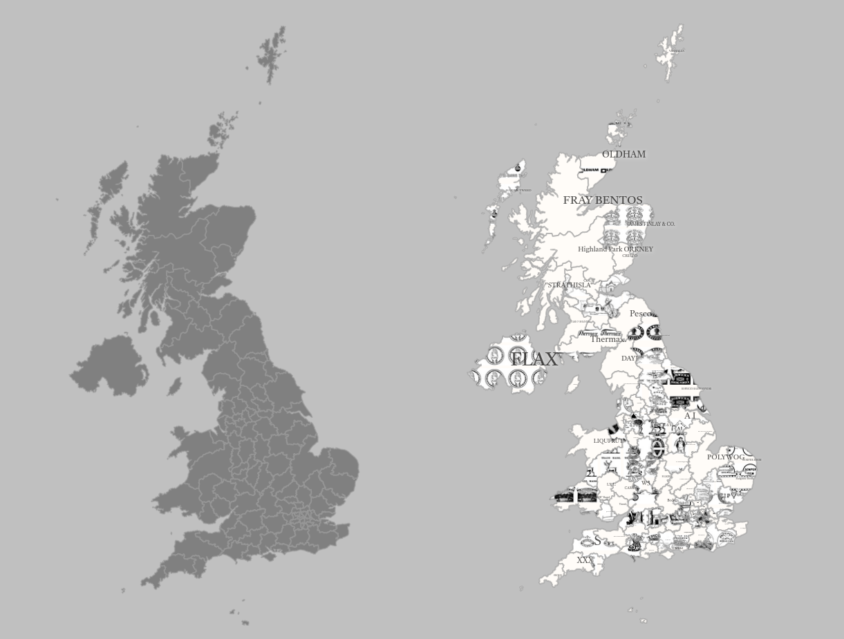 2026-06-01: Unfortunately, the visualisation is no longer available due to Glitch shutting down.
You can find the code for both steps, plus the final visualisation on Glitch!